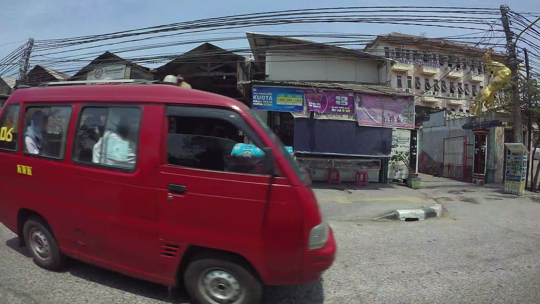
6°06'52.4"S 106°54'21.9"E Rt.5/Rw.7, Lagoa, Kec. Koja, Kota Jkt Utara, Daerah Khusus Ibukota Jakarta Https://Goo.gl/Maps/7Tt5reyeadsmyphy6
Sign in to add a photo.
About
6°06'52.4"S 106°54'21.9"E Rt.5/Rw.7, Lagoa, Kec. Koja, Kota Jkt Utara, Daerah Khusus Ibukota Jakarta Https://Goo.gl/Maps/7Tt5reyeadsmyphy6 is a hotel to stay in Utan. The hotel is close to zain and Rumah si Pitung, about 2.7 km from Tanjung Priuk, about 7.1 km from Out Bond Beach. Within a short walk you'll find 3 places to eat and 1 supermarket. The most comfortable time to visit Utan is generally November to January.
Location
What's nearby
- zain3.6 km
- Rumah si Pitung6.2 km
- Wisata Warung Lesehan Pantai Marunda6.5 km
- Taman Impian Jaya Ancol6.9 km
- SeaWorld Ancol7.1 km
- Out Bond Beach7.1 km
Straight-line distances.
Within a short walk
Everyday amenities within about 1 km, from OpenStreetMap.
Getting there & essentials
- Nearest airport
- Pangkalan Udara Halim Perdanakusuma — 14.7 km
- Nearest station
- Tanjung Priuk — 2.7 km
- Nearest beach
- Out Bond Beach — 7.1 km
- Driving
- Drives on the left
- Currency
- IDR
- Power
- Type C/F plugs · 230 V · 50 Hz
Straight-line distances.
Street view
Reviews
No reviews yet — be the first to review 6°06'52.4"S 106°54'21.9"E Rt.5/Rw.7, Lagoa, Kec. Koja, Kota Jkt Utara, Daerah Khusus Ibukota Jakarta Https://Goo.gl/Maps/7Tt5reyeadsmyphy6.
Similar stays in Utan

More places to stay in Utan
The nearest listings, by straight-line distance.